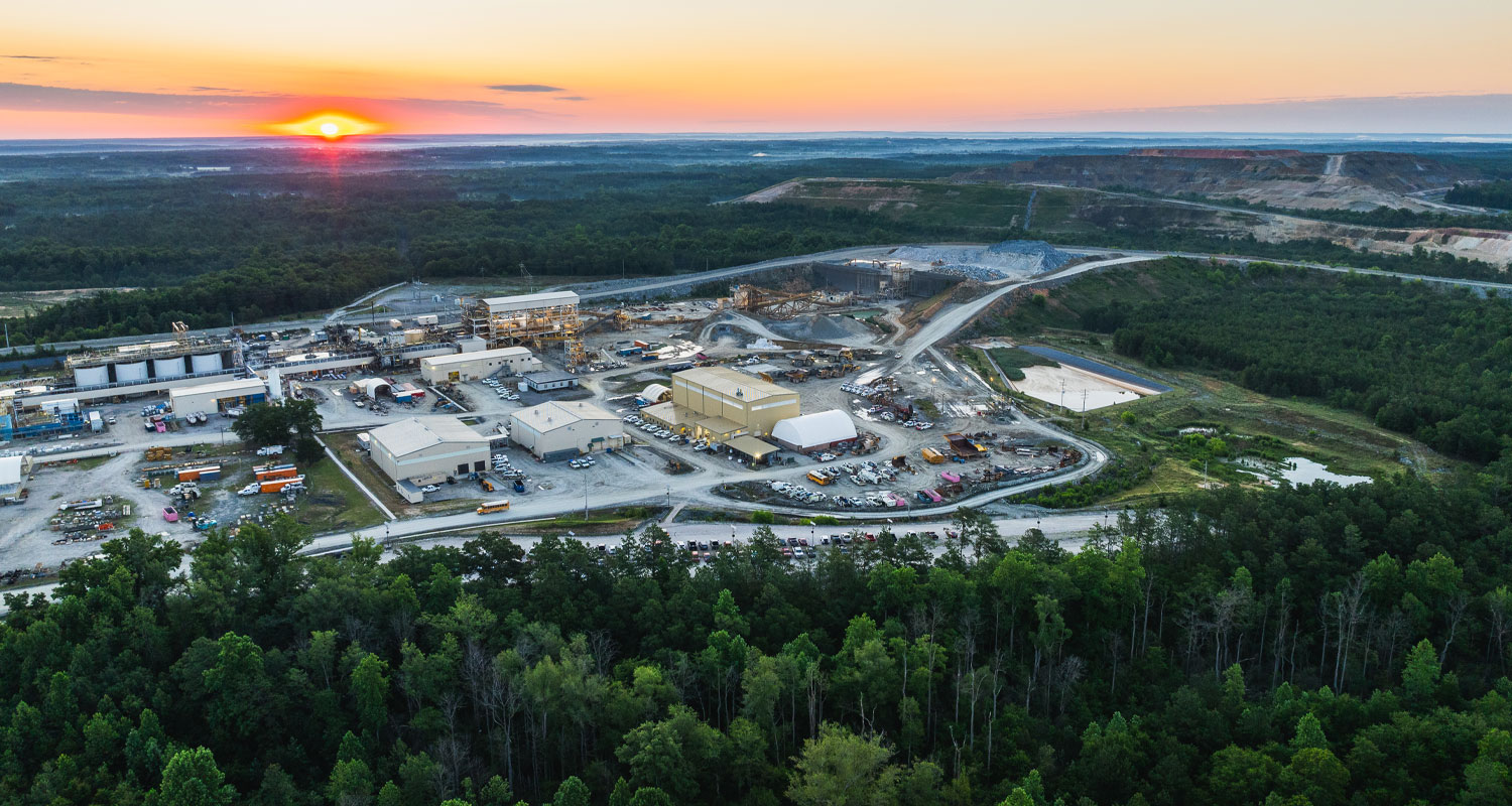
Haile Gold Mine contributes over $717M annually in economic value to South Carolina
TSX CAD
GOLD
Investors Hub
TSX:OGC
CAD
()
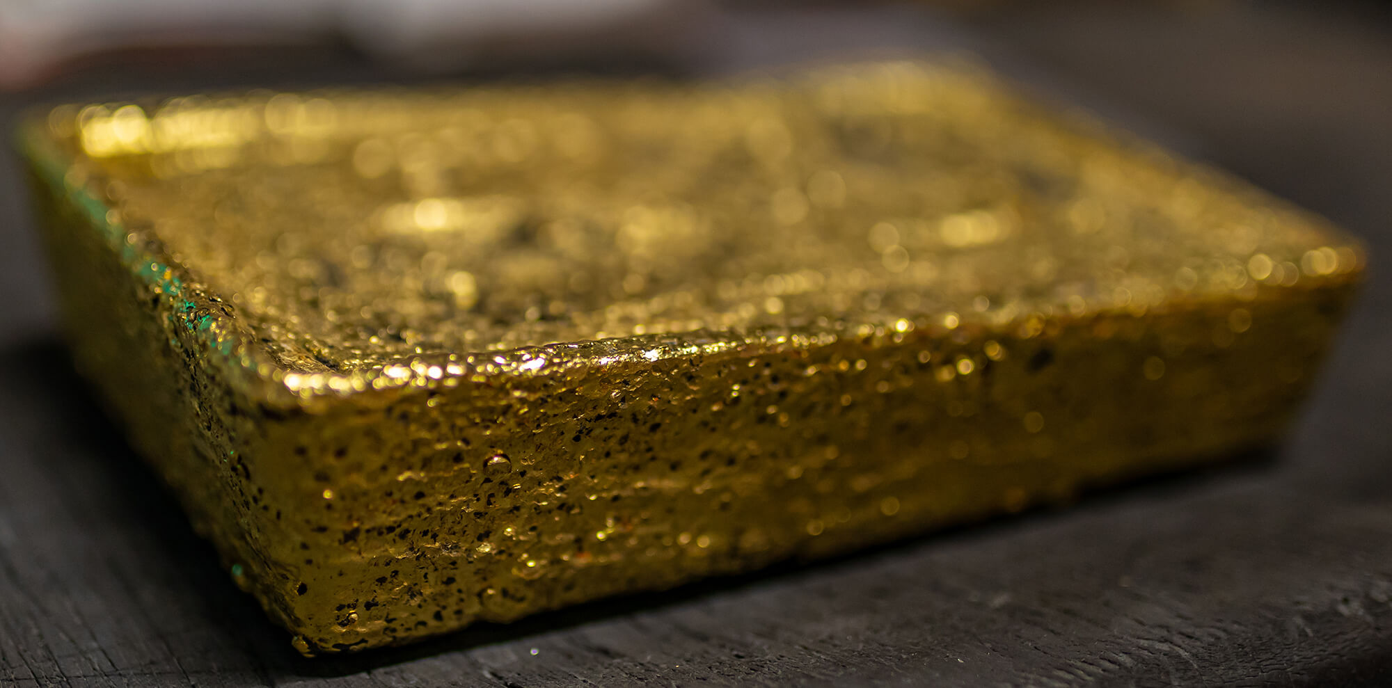
OceanaGold
Our Vision is to be a company people trust, want to work and partner with, supply and invest in, to create value.
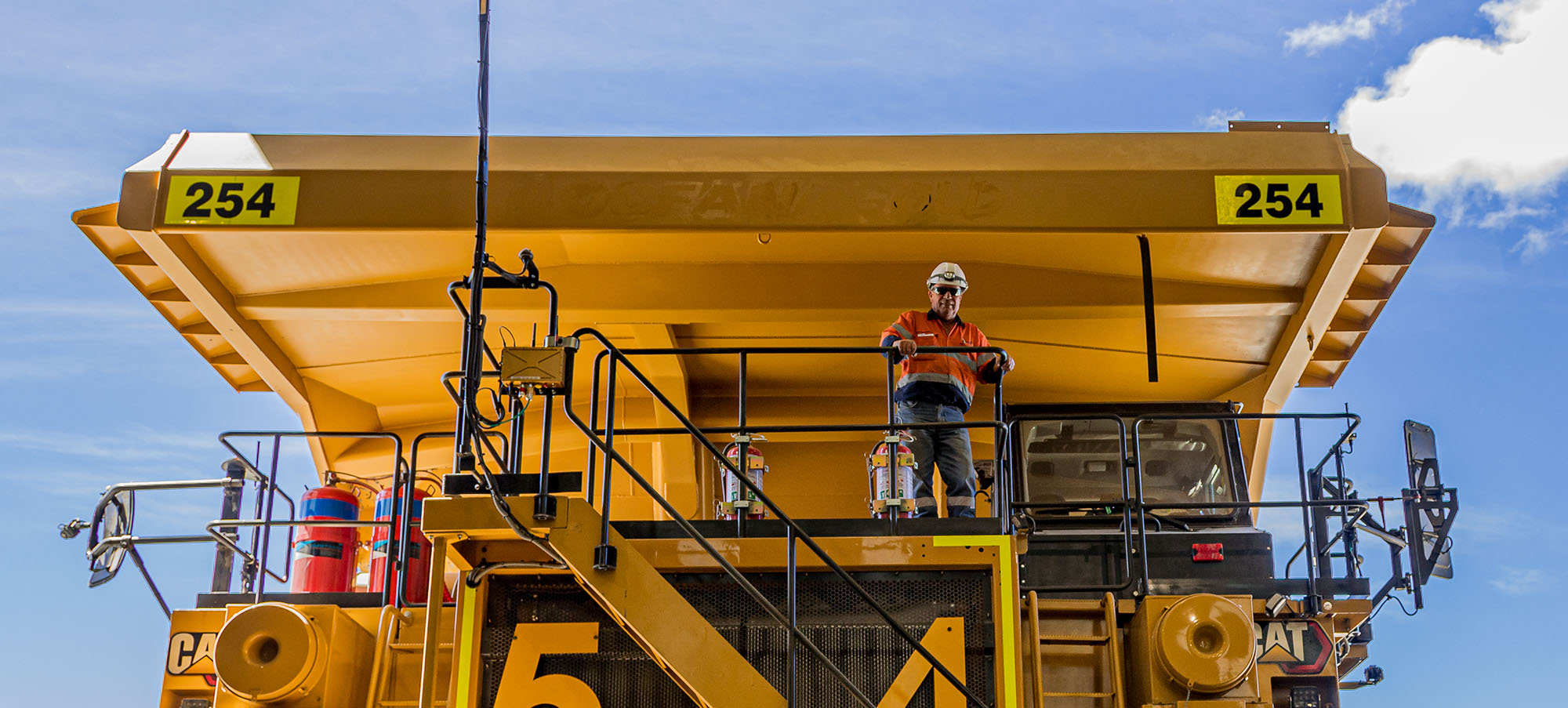
OceanaGold is a growing mid-tier gold and copper producer committed to safely and responsibly maximizing the generation of Free Cash Flow from our operations and delivering strong returns for our shareholders.
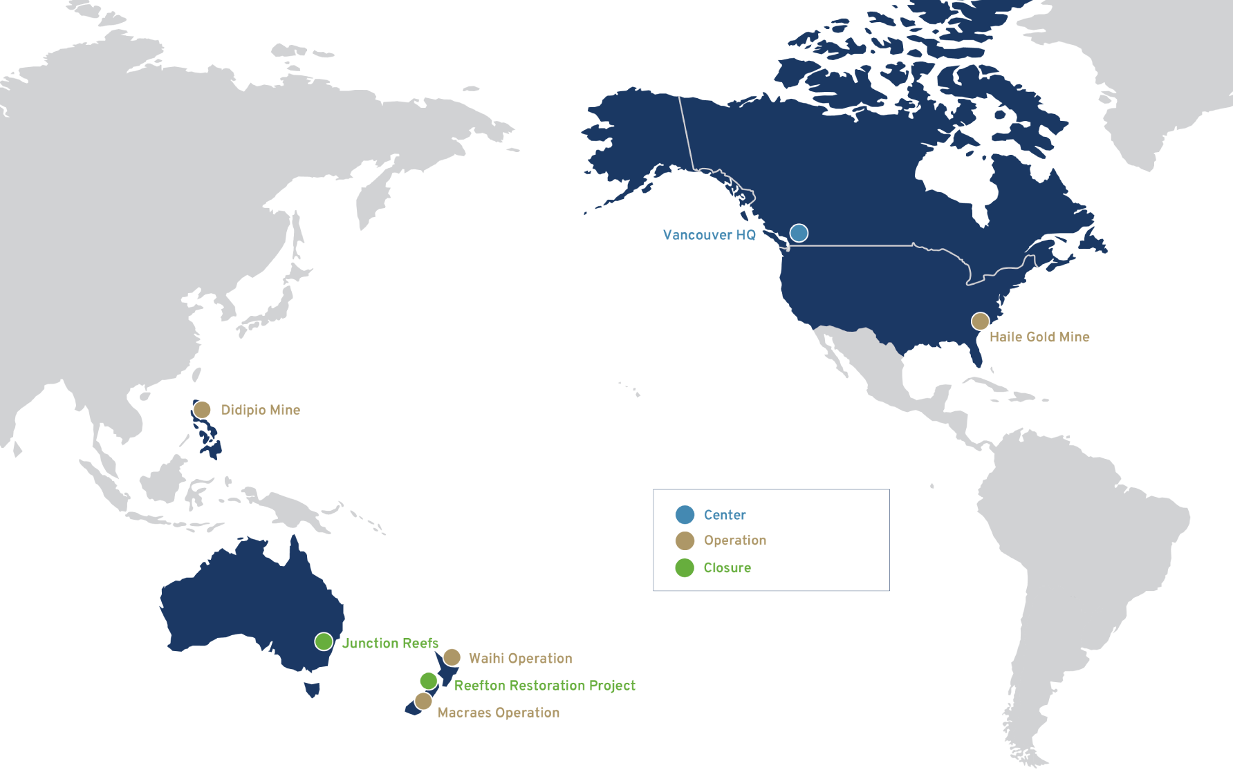
We have a portfolio of four operating mines: the Haile Gold Mine in the United States of America; Didipio Mine in the Philippines; and the Macraes and Waihi operations in New Zealand.
More about usOur Stories
Sustainability
Sustainability is fundamental to the way we do business. We are committed to responsible mining, managing our impacts and, more broadly, contributing to our communities and society more broadly.
We produce gold, silver and copper, all metals that are essential to economic development and societal wellbeing – from renewable energy to life-saving medical devices and the communication and information technology that connects our communities.
Learn moreLocations
Growing gold and copper producer
We have a portfolio of four operating mines: the Haile Gold Mine in the United States of America; Didipio Mine in the Philippines; and the Macraes and Waihi operations in New Zealand.
We have redefined our vision and purpose to better reflect our people, commitment to responsible mining and the results we deliver every day.